By Laura Weingartner
Three researchers who study the boreal forest at the Agriculture and Forestry Experiment Station find ways to use science to make art. Read on to see the creativity of Jan Dawe, Jessie Young-Robertson and Santosh Panda. Incorporating art into the sciences can help demonstrate certain concepts and engage new audiences while making something beautiful and interesting.filler text for formatting
OneTree Alaska
Jan Dawe is a researcher, educator and artist. One of her goals as a research assistant professor of natural resource education and community-engaged scholarship, and the director of OneTree Alaska is to help people of all ages connect with the boreal forest. She uses art as a way to make science more accessible to our whole community.
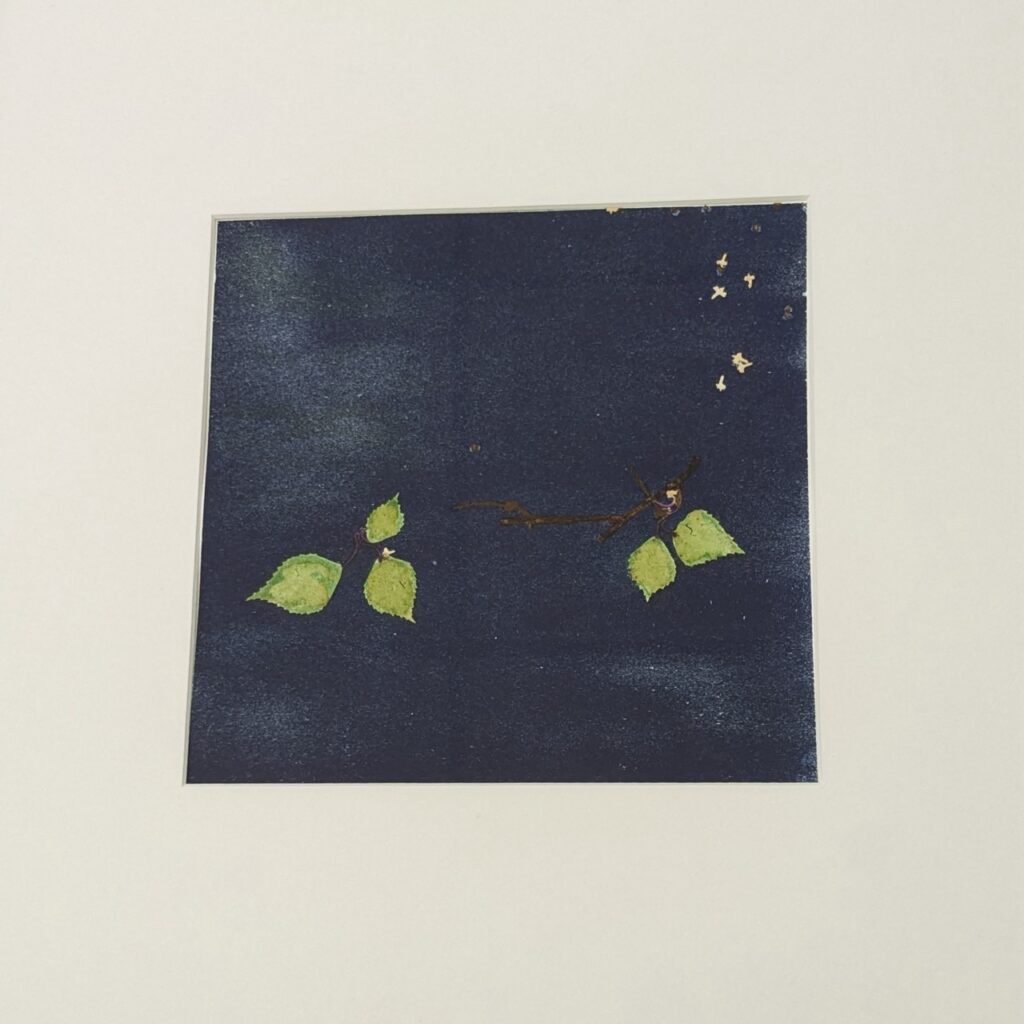
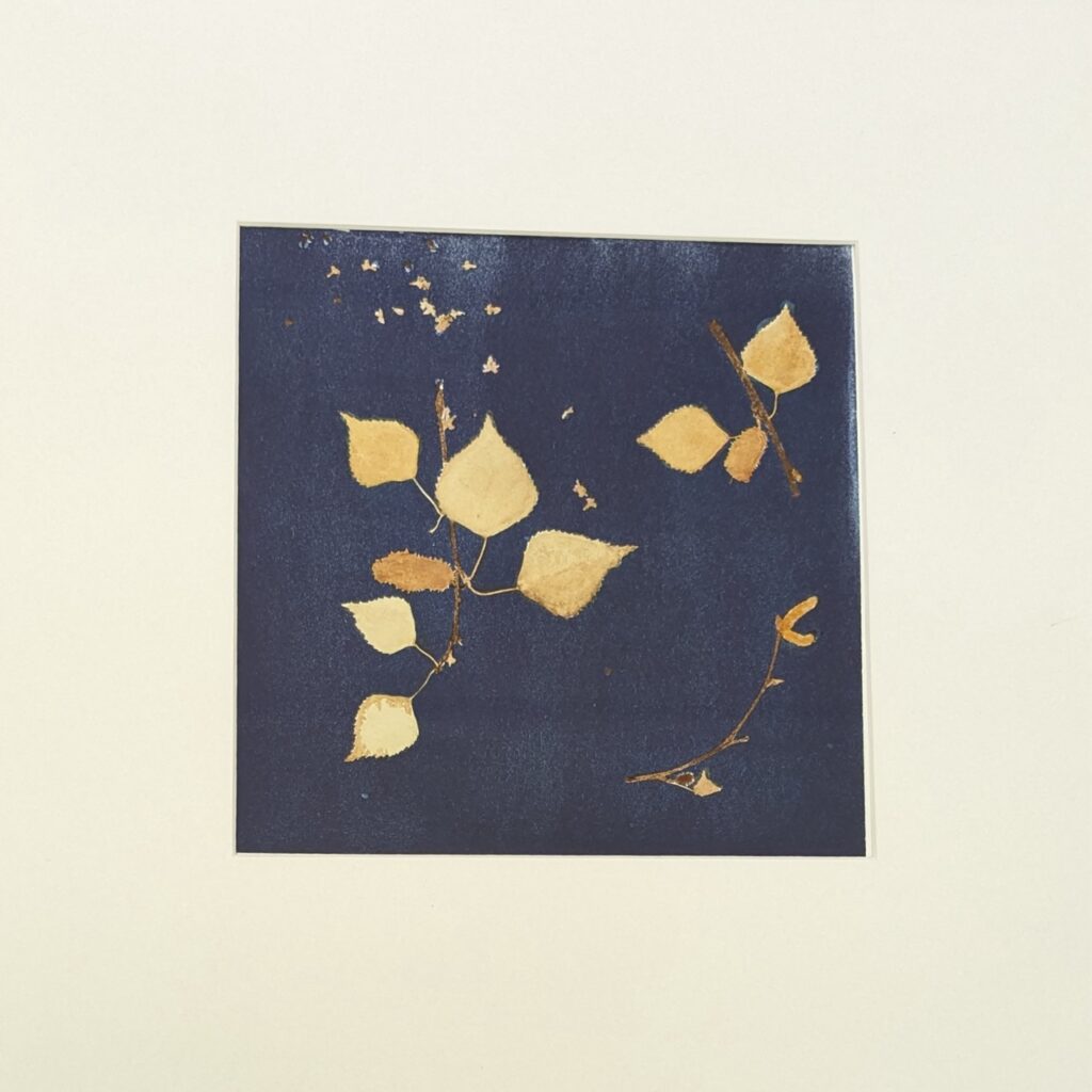
She collected and pressed three sets of branches from the birch tree used for the “OneTree3” project sponsored by The Fairbanks Folk School in June 2023. She then created cyanotypes from them and added color using botanical inks made from birch inner bark modified with turmeric, copper soaked in vinegar and salt, or hydrogen peroxide.
Even though the branches were collected on the same day, the leaves and reproductive structures record the whole growing season, representing spring, summer and fall

filler text for formattin
Read more about the work Dawe does.
Alaska Boreal Forest Soils Lab
Jessie Young-Robertson, co-director of the Alaska Boreal Forest Soils Lab and artist, uses creativity in her research and art and encourages lab members to be creative. Here are some examples of the art that has come out of her lab.
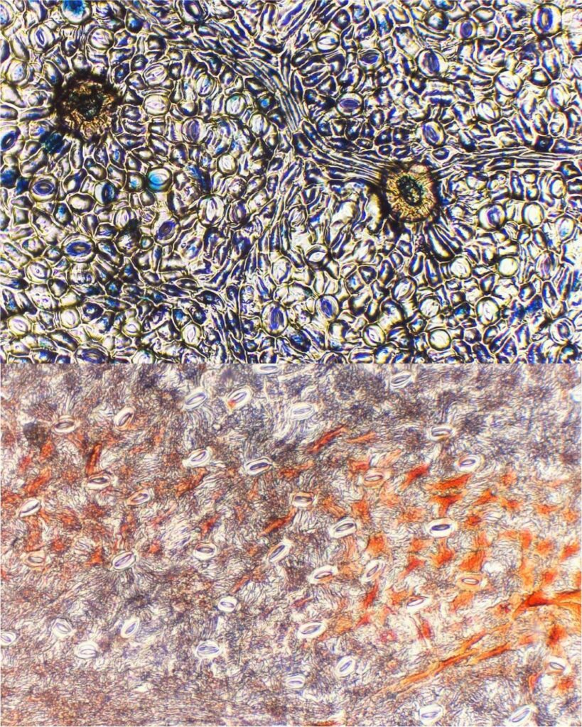
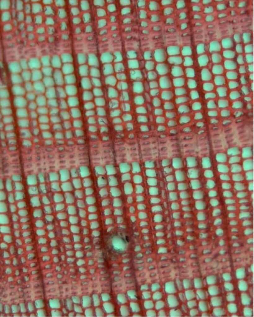
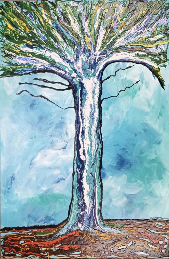
Visit the third-floor hallway of the O’Neill building on the UAF’s Troth Yeddha campus, or visit the Alaska Boreal Forest Soils Lab website to see more of their work.
Alaska as Art
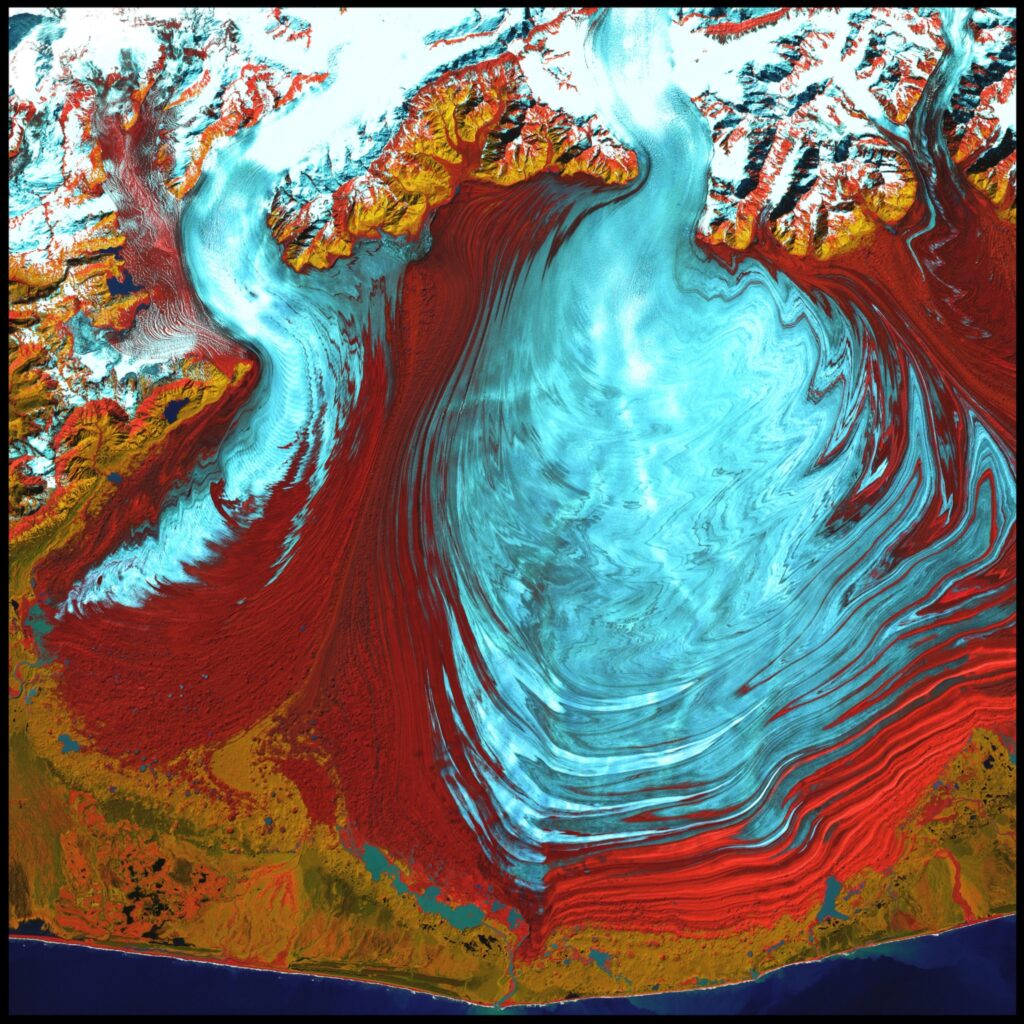
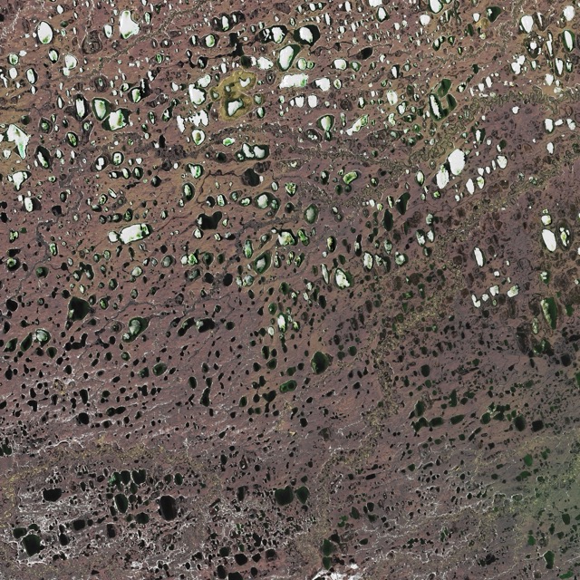
Alaska as Art is a project by the Geospatial Research Group led by Santosh Panda, associate professor of GIS & Remote Sensing. This group used satellite imagery of unique geological features to visualize the climatic and geologic processes that shape Alaska. By editing publicly available satellite images to enhance the color, texture and 3D perspective of the landforms, they turned these images into beautiful and educational art.